Category Archives: ASBUC

Simple hikes around Tatti (Southern Tuscany)

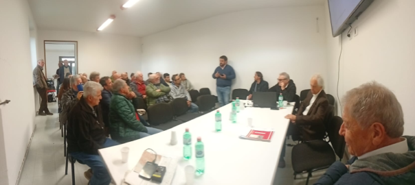
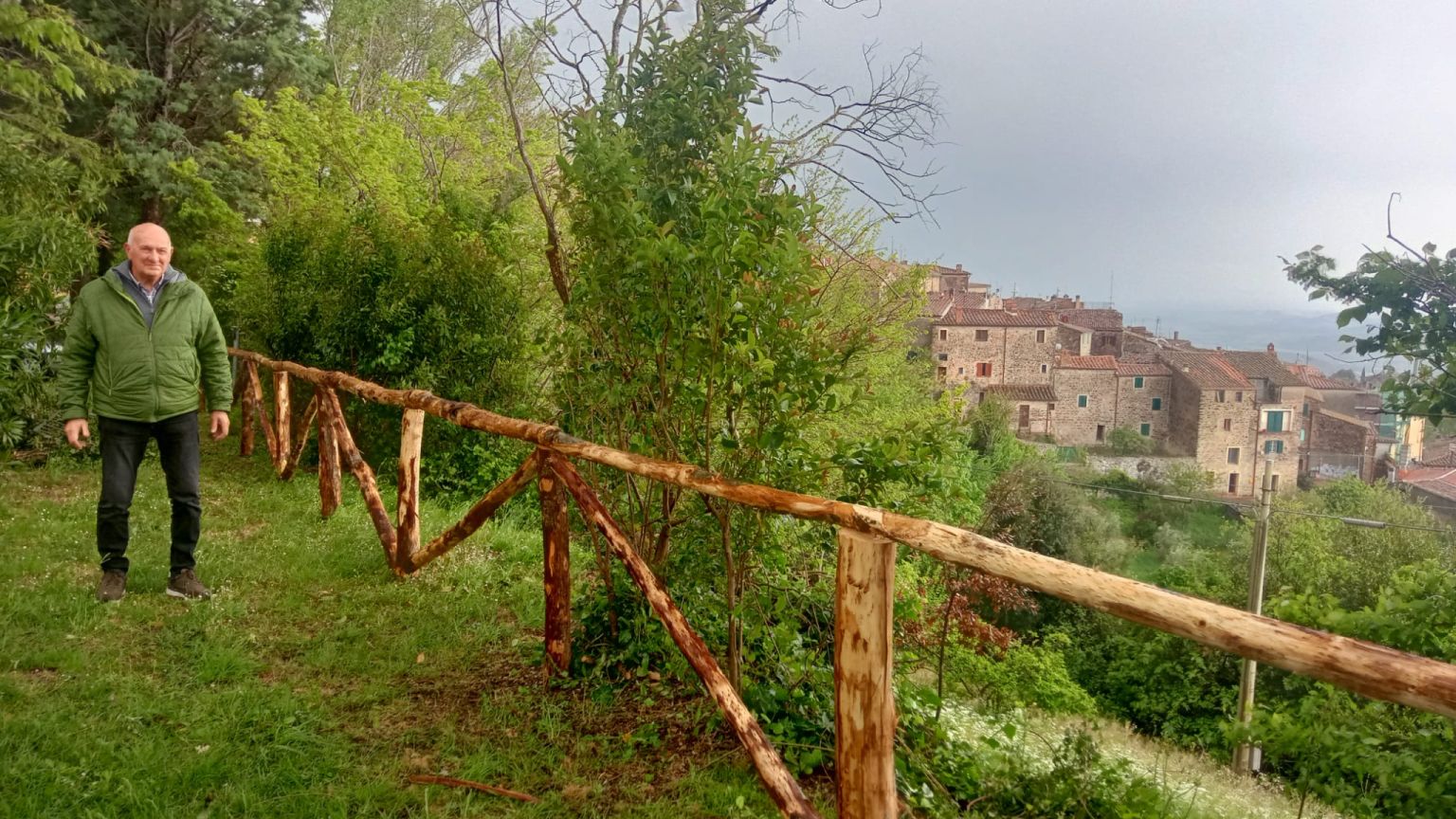
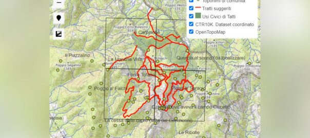
This map highlights some portions of the roads and trails selected by Amministrazione Separata Beni e Usi Civici (ASBUC) di Tatti, and deemed suitable for walks and hikes. These portions may be assembled at your leisure to compose itineraries around the village with for walks from one to four hours. These sections may be also downloaded in GPX format: https://www.pibinko.org/out/aspassointornoatatti-v20240531.gpx

For a full-screen version of the map, please use this link: https://www.pibinko.org/map/asbuctatti – if you are on a mobile device, and you click on the “pin” icon under the zoom buttons, you will be able to see your location on the map.

For more information: asbuctattigr@gmail.com

In Selvena, Southern Tuscany, a Meeting of the Estover Administrations after Twenty Years

On April 20, in Selvena, on the Amiata mountain area in Southern Tuscany, there has been a meeting of the Estover (Usi Civici, in Italian) administrations for commons in the province of Grosseto. If you are not aware of Estovers, please see https://en.wikipedia.org/wiki/Estovers.

The meeting was the opportunity, after many years without this type of gathering. for an overview on this type of institution in the area of Grosseto, considering technical aspects, issues, and opportunities.

From Tatti we had the possibility of summarizing some of our experiences in the field of community mapping, as well as documentation and promotion of lesser known aspects of our territories. We hope that these ideas of interest also for other administrators.

The meeting was attended by around fifty people overall, and the day was closed with the plan to schedule another meeting soon, so as to continue along a common path.

In the map below, the locations were “Usi Civici” exist in the Grosseto area (please note that the point refer to the main location, and not to the areal extension of the interested land).

For more information: micalosapevo@pibinko.org or +393317539228.