[this presentation was written in Sep. 2008] Act (and communicate) locally; think as globally as needed
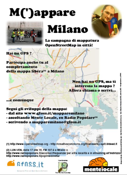
Collaborative free mapping takes on Milano
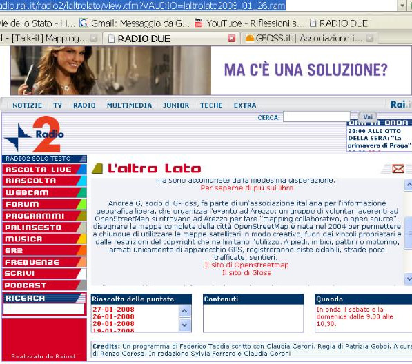
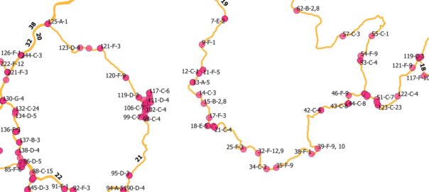
Between March and June 2008 a collaborative mapping campaign was hosted in Milano, through the collaboration of GFOSS.it, an Italian not-for-profit association for awareness raising on free/open source geographic information systems, a group of activitists from the OpenStreetMap community, and MenteLocale, a daily radio show from on mobility broadcast from Radio Popolare.
The project was named M(‘)appare Milano, emebbeding in a single name two concepts: mapping and appearing.
While collaborative mapping has its gist in the wikipedia-like dynamics, with a twist for techies in the use of low-cost but sophisticated equipment and data processing workflows, M(‘)appare Milano proved to be an interesting exercise in bringing the concept of free geographic information systems to the masses (and vice versa), with a relevant role played by the radio.
Now that we demonstrated that blind people, computer gurus, squatters, and showmen can all relate to the land they walk on -and to each other- through geographic location recorded on a PC, who knows what could happen in a new edition of this project ?