Category Archives: Maps

Save the date: Milano, March 11: Community maps of Earth, Sea, and Sky in Fa’ la Cosa Giusta

Fa’ la Cosa Giusta is the biggest and most widely known Italian Fair on sustainable lifestyles. Between 3 and 4PM on Saturday, March 2017, you can find us there with an event which, as usual, will be considered too long by communication and marketing experts.

This is not the first time that I participate in this event.
In 2008 I was invited to present the experiences of Palla 21 in Chicago and m(‘)appare Milano for the tenth Avanzi anniversary.
A couple of years later I was part of the Ortinconca team, a group of milanese citizens committed to urban gardening with ancient seeds (for whom I created an open-source web map of the seed distribution map).

But this is the first time that we have an event in the cultural events section of the fair, together with team we work in since 2006, and completely focused on our own projects.

a) The fair’s web site has an event description in Italian . which we are translating here for your convenience:

When:  Saturday, March 2017
Where: Piazza Viaggiatori
Event type: meet-up

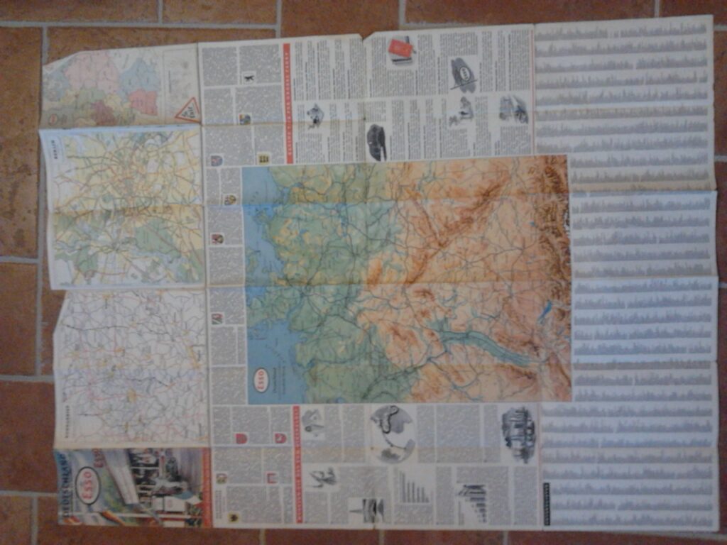
This will be your next chance to get to know the map of light pollution (BuioMetria Partecipativa) and the community map of the Farma Valley, created by the residents of this lesser known corner of Tuscany, 45 minutes South of Siena (or two hours South of Florence, you choose).

With: Andrea Giacomelli, plus two or three mappers of Earth, Sea, and Sky

Andrea Giacomelli (aka pibinko), since 2006 has been creating and managing projects on interdisciplinary protection and promotion of lesser resources.
The other guests will be active members coming from the communities which are participating to the BuioMetria Partecipativa and Farma Valley Community Maps.

Organised by: pibinko.org
Admission: free (but you need to have a ticket to enter the fair)
For information and reservations: info@pibinko.org

b) Read a short presentation concerning the event, by Giancarlo da Miele:

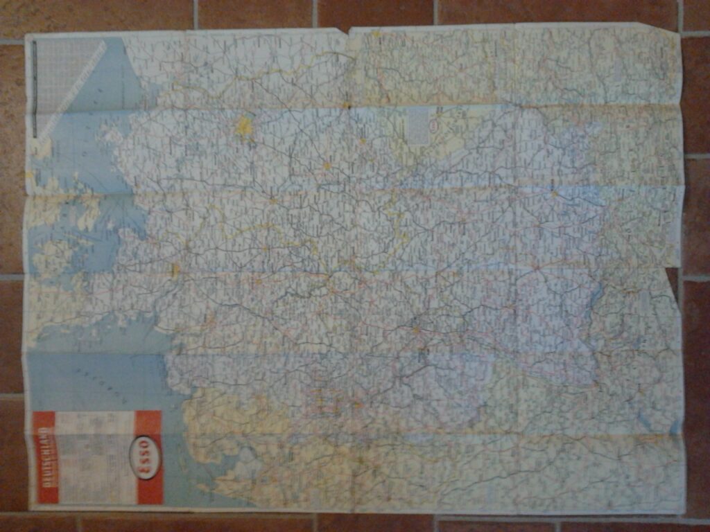
Some call the maps, some call them charts. Whichever way, we use them to save a trace, to understand a context, to inspire a walk, to plan a military strike of the remediation of a contaminated site, to decide where we should irrigate more, an where we should irrigate less. Maps in relation to space are like calendars in relation to time: they are tools to provide boundaries and references in one or more dimensions. As any tool, we can find maps which are designed and produced “top-down” or “bottom-up”. You can build a jet airliner or a paper plane. With both you can make a journey. What will change is how much you spent to reach your destination.

Map of Corsica with Carasau bread (self-created). January 2017

The presentation will propose some of the experiences in creating maps by a team which, since 2006, has been collating experiences from very diverse paths.

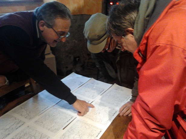
Some are “high-level”, and some are “low-level” (according to the concepts of “high” and “low” circulating in Europe in the past 70 years: PhD grants in hydrology, sledgehammer grants in construction sites, Science and Technology parks in Southern Italy, timber men working right next to natural protected areas in Southern Tuscany. Put all these experiences in a cultural blender, mix them for ten years, and apply the result to map making, pouring a little each year. Our survey is not yet complete, but we have parts of Earth, Sea, and Sky to show, and we need a hand to keep on tracing our rout to the Valley that’s not there.

c) Since we need to be in Milano on March 11,  we expect to reach the city at least one day in advance, and will not have to rush back to Toscana, so we might stay one or two days after the event. If you are not able to attend on March 11, but are interested to take up our challenge on participatory earth, sea and sky survey, let us know (info@pibinko.org or +39 351 133 7020).

The revision of the trekking network in Castelnuovo Val di Cecina, Tuscany

In collaboration with IRIS Ambiente:
riqualificazionesentieristicacastelnuovo_locandinaserata21-10-16


A presentation of the project for the Municipality of Castelnuovo Val di Cecina, South of Pisa, concerning the revision of some 80 km of trekking network.

The project implied a series of GPS surveys, the creation of a GIS data set combining the survey with pre-existing cartography, update photographic documentation, and the creation of a maintenance plan highlighting priority actions and more long-term activities for the promotion of the network.

For more information: bacci@irisambiente.it

logo_iris

Tuscany and Lombardy: comparing the names of lodging facilities

The charts below are derived from the data sets for lodging facilities in Tuscany and Lombardy. The numbers indicate the frequency of occurrence of terms in the facility name (only the top twenty terms are reported here).

The charts expose different anecdotes. One thing which was curious for me, among others: Tuscany has no motels (at least with “Motel” in the name).

nomistrut_toscana

nomistrut_lombardia

Data source: open data portals for Regione Toscana and Regione Lombardia. Processing: pibinko.

Mapping the affiliation of INSPIRE Annex 2 and 3 Data Specification experts

Between 2010 and 2012 about 200 experts from all over Europe provided their input to the definition of data specifications for the so called Annexes 2 and 3 of the INSPIRE Directive.

The experts were divided in 19 groups, each referred to a theme (protected areas, atmospheric conditions, utilities, and so forth).

Having worked as the facilitator for one of these teams, namely for the “Production and Industrial Facilities” group, I attended various meetings with many of these experts, and many others I was in touch with remotely, but it was difficult to know all of them.

I have always been curious of a snapshot on the origin of these experts, and I eventually decided to map it.

inspire_data_spec_exp23

The data:

  • Germany 25
  • United Kingdom 20
  • Spain 20
  • France 14
  • The Netherlands 12
  • Norway 11
  • Italy 10
  • European Commission 9
  • Belgium 8
  • Sweden 7
  • Poland 6
  • Finland 5
  • Hungary 5
  • Austria 3
  • Czech Republic 2
  • Slovakia 1
  • Latvia 1
  • Romania 1
  • Bosnia-Herzegovina 1
  • Macedonia 1
  • Greece 1
  • Turkey 1


Notes:

  • The count by country is not made on the nationality of the person, but on the country where this person was working. For experts affiliated to European Commission offices, or other EU bodies, I displayed a dot on Luxembourg (in green to highlight that it is to be treated differently from others)
  • The presence of an expert in the list is not representative to the actual contribution to the overall process
  • The map was derived from http://inspire.ec.europa.eu/index.cfm/pageid/2/list/30, with the addition of Heinrich Geerling (Production and Industrial Facilities). Also, during the whole data specification period the list was in fact dynamic: some of the experts initially defined left their position and were replaced. The snapshot may still be considered quite representative.

For comments and amendments: info@pibinko.org

Almost ready for the Connected Automobiles Hackathon at the Monza F1 circuit (Oct. 29-30)

ca-hackaton2015

We are almost there. In one week the Connected Automobiles 2015 hackathon at the F1 circuit in Monza, Italy, will start.

A peculiarity of this event will be the possibility for  developers to directly test their solutions with connected cars which will be available on the racing circuit…this opportunity is not at hand every day!

For the geographic part, I will bring a selection of data and API from the main open data portals in Italy.

The registration for the event is still open.

For all information please visit the event’s site: http://www.connectedautomobiles.eu/hackathon/

The ASITA 2015 final program in a nutshell, according to pibinko

asita_logoIn Italy we say “Your first love is never forgotten”. This applies also to conferences. The first event which I attended as my own business decision, and not because somebody told me was the 1997 edition of the ASITA national conference. ASITA is an association resulting from the joint venture of four national association focused on various aspects of spatial information and geomatics. 1997 was in Parma, at the trade centre. I went there from Cagliari, where I started working a few months before, and I immediately caught a cold, since I was getting used to Sardinian weather, but it was a great experience. The only thing I clearly remember, above a lot of background noise, was that some guys from one of the national research council’s institute were citing my PhD thesis in a poster where they were explaining that they had been re-applying my work. Cool!

I then remember attending Genova (2000), skipping almost all of the rest of the first decade of the third millennium for corporate commitments. Then I was in Bari (2009), Colorno (2011), and Florence (2014). I might say this is an intermittent, but not interrupted, relationship.

This year, sadly, I can’t make it to Lecco. I was thinking of proposing a workshop about BuioMetria Partecipativa, but then things didn’t work out…maybe next time. In the meantime, to have an idea of what will happen at the conference, I decided to re-apply to the final program of the event the algorithm which I used in June to analyze Pope Francis’ Encyclical letter.

If you check out the most frequent nouns, a possible way to read this is that there will be university folks from Milano and Torino,  Marco, Andrea, Maria e Giuseppe who will convene to talk about management of data on their territories. This is, of course, a hyper-simplification. However, I am sure that perusing the top 100 of the nouns in the program, Italian GIS professionals will find interesting stuff here (always reminding about the working assumptions for the current version of the processing algorithm, which are explained in the June article on the encyclical letter).

For comments and more information: info@pibinko.org

asita2015_top100_nouns