2014-2015
Design, development, and maintenance of the web site for the Toscana Foto Festival
2014-2015
Design, development, and maintenance of the web site for the Toscana Foto Festival
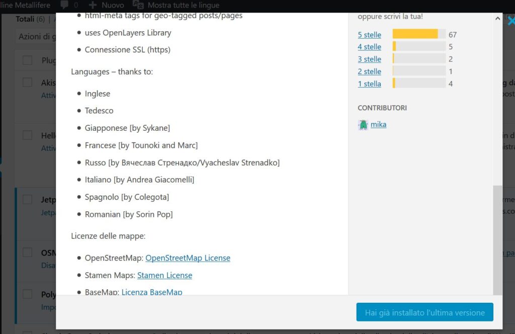
I translated from English into Italian the OSM – OpenStreetMap WordPress plugin by Michael Kang (MiKa)
2010-2014
Design, development, and maintenance of the LO-FI Club website (WordPress + customizations), including running a weekly newsletter.
La Combriccola is a cafe and a wine bar in the Farma Valleyhttp://www.lacombriccolatorniella.it/.
To be seen (the bar, not just the web site), as the main Attivarti.org hub since 2011, and as the home of other projects I conducted since 2007.
(March 2012-July 2013)
Citizen Science Coordinator in and FP7 EC research project for the development of web services for the collection of biodiversity observations. The job included the revision of specifications for the development of mobile apps.
April 2010 – July 2013
Facilitator for a European Commission working group on the INSPIRE data specifications “Production and Industrial Facilities” theme.
“Bòno” is the pronounciation of buono in central Italy for “buono” (good, nice). So this is the blog for yummy Southern Tuscan recipes from my aunt Eda…some sixty recommendations, classified by main ingredients and difficulty of execution.
http://www.pibinko.org/ricettebone
The project had an educational component, since it was her who actually wrote the blog articles (I just did some editing).
2008-2010
I managed the design and development of an application for the reserve estimate for the environmental program of a large corporation (with about 30 plants in Europe)
2009-2010
Definition of specifications and supervision of a document managemeny system supporting a large contaminated site assessment program (for a corporation with about thirty plants in Europe)
2010
I supported a consulting company, providing a fast-track GPS survey plan (concerning approximately 30000 points of interest on half of an Italian region), and subsequently handled the post-processing of the collected data to create geographic data layers.