In collaboration with IRIS Ambiente:

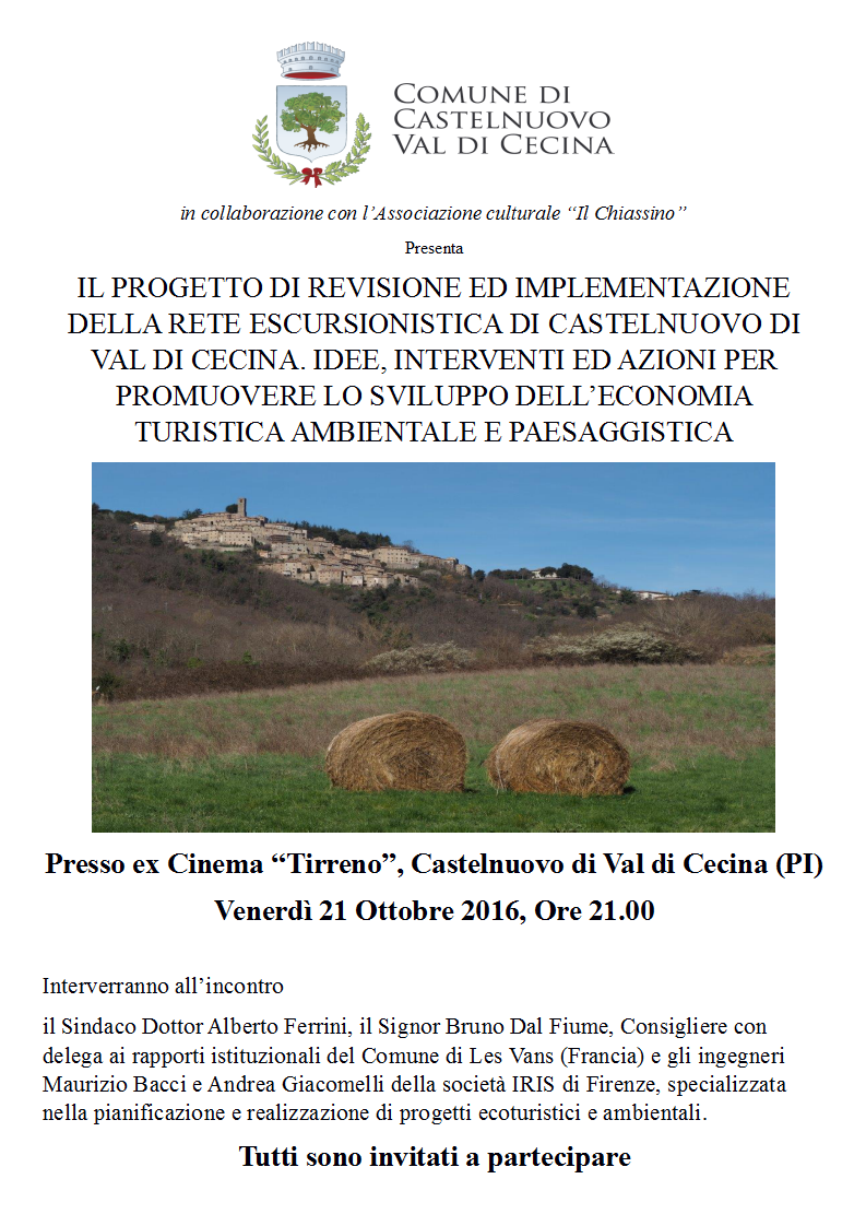
A presentation of the project for the Municipality of Castelnuovo Val di Cecina, South of Pisa, concerning the revision of some 80 km of trekking network.
The project implied a series of GPS surveys, the creation of a GIS data set combining the survey with pre-existing cartography, update photographic documentation, and the creation of a maintenance plan highlighting priority actions and more long-term activities for the promotion of the network.
For more information: bacci@irisambiente.it
